New NCERT Exploring Society: India and Beyond Part 2 · Class 8 Social Science · Part 2 · Chapter 1: World Geography: Some Glimpses
This chapter is a quick tour of our 'blue planet': how maps show the Earth, the oceans and smaller water bodies, and key landforms on every continent. It ends with how human actions are disturbing the balance of these features.
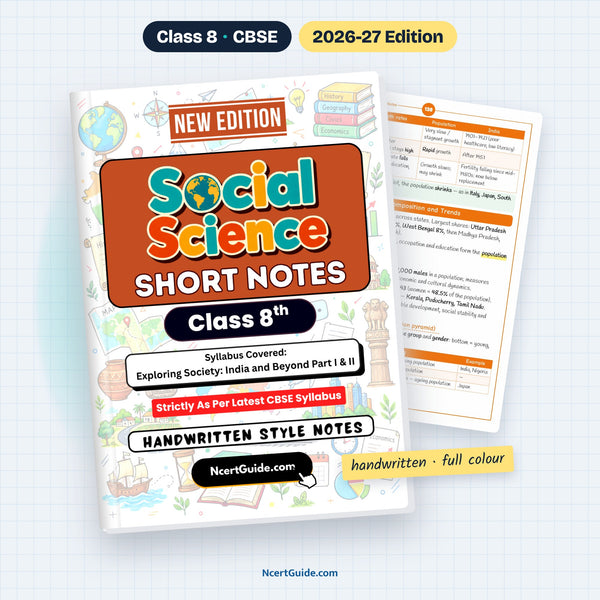
From the Class 8 Social Science Short Notes, made as per the new NCERT book Exploring Society: India and Beyond · Pages 77–88 of the book.
Key points
- All flat maps have some distortion because the Earth is an oblate spheroid; the Mercator projection keeps shape but distorts size near the poles, while the Robinson projection balances both.
- Oceans cover about 71 per cent of the Earth's surface and hold 97 per cent of its water.
- There are five oceans: Pacific (largest and deepest), Atlantic, Indian, Arctic (smallest and shallowest) and Southern.
- Warm and cold ocean currents affect coastal climate; the Gulf Stream makes the United Kingdom warmer.
- The Mariana Trench is the deepest; its Challenger Deep reaches over 11,000 m below sea level.
- The Great Barrier Reef off Australia is threatened by overfishing, pollution and climate change (coral bleaching).
- The Bay of Bengal is the world's largest bay; the Suez Canal (opened 1869) is the shortest sea route from India to Europe.
- The Tibetan Plateau is the highest and largest plateau, called the 'Third Pole'; the Ural Mountains separate Europe and Asia.
- The Sahara is the largest hot desert; the Nile is the longest river; the Amazon is the world's largest river by volume.
- The Atacama Desert in Chile is becoming a dump of discarded fast-fashion clothes.
- North America has the Colorado Plateau, Rockies, Appalachians and Great Lakes; Antarctica is the largest desert on Earth.
- Human actions like deforestation, global warming and pollution disturb Earth's balance.
Key terms
- Cartographer: A person who draws or produces maps.
- Map projection: The process of showing the curved Earth on a flat surface.
- Oblate spheroid: A nearly spherical shape that bulges at the equator and is slightly flattened at the poles.
- Plankton: Microscopic organisms with chlorophyll that use sunlight and carbon dioxide to make food.
- Trench: A very deep, V-shaped area of the seafloor.
- Steppe: A large, flat, unforested grassland with hot summers, cold winters and moderate rainfall.
- Savannah: A tropical grassland with scattered trees and seasonal rainfall, between rainforests and deserts.
- Tundra: A treeless, cold plain where the soil stays frozen most of the time.
- Conservation hotspot: An area where efforts are made to save native flora and fauna lost mainly due to human activities.
Diagrams to learn
- Table: Mercator vs Robinson projection
- Fig 1.1 Why every flat map is distorted
- Table: the five oceans
- Fig 1.2 Warm and cold ocean currents
- Table: sea, gulf, bay, strait and canal
- Fig 1.6 The main landforms
- Fig 1.7 Plates collide: Himalayas and the Tibetan Plateau
- Map work: world physical map
- On the Mercator map Greenland looks larger than India, but it is actually smaller.
- The largest desert on Earth is Antarctica, a cold desert, not the Sahara.
- Frozen tundra soil (permafrost) traps CO₂ and methane; when it melts, the gases escape and climate change speeds up.
A real page from the book

Get the full chapter in the book
This page is a summary. The Class 8 Social Science Short Notes has the complete chapter in colour, with every diagram and worked example.
Frequently asked questions
Why are all world maps distorted?
The Earth is curved, and showing a curved surface on a flat map is impossible without some distortion. Some maps show correct shapes but wrong sizes, others correct sizes but distorted shapes.
Which is the deepest point in the ocean?
The Mariana Trench is the deepest trench. Its deepest part, the Challenger Deep, reaches over 11,000 m below sea level.
Why is the Tibetan Plateau called the Third Pole?
It holds the largest freshwater reserves outside the polar regions. It is the highest and largest plateau on Earth and is the source of the Indus, Brahmaputra and Yangtze.
← Part 1 · Chapter 7: Factors of ProductionPart 2 · Chapter 2: India’s Long Road to Independence →