New NCERT Understanding Society: India and Beyond · Class 9 Social Science · Part 2 · Chapter 10: Oceans and Life
This chapter is about the oceans and how they shape our climate, food, trade and safety. It covers the ocean floor, moving ocean water, early warning systems, marine resources and the maritime zones set by international law.
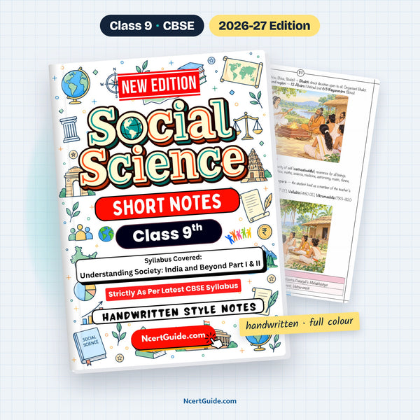
From the Class 9 Social Science Short Notes, made as per the new NCERT book Understanding Society: India and Beyond · Pages 56–62 of the book.
Key points
- The ocean floor has mountains, valleys, plains, plateaus and trenches — called submarine or ocean relief.
- The Mariana Trench is the deepest place on Earth; the Mid-Ocean Ridge is the world's longest mountain range.
- Waves are the rise and fall of the ocean surface, mainly caused by winds.
- Waves erode coasts: crack → cave → arch → stack → stump.
- Tides are the rhythmic rise and fall of ocean water, twice a day in most places, caused by the pull of the Moon and Sun.
- Spring tides happen when the Sun, Earth and Moon are in a line; neap tides when the Moon is at a right angle.
- Ocean currents are continuous streams of water flowing in definite directions; warm and cold currents meet at rich fishing grounds.
- Early warning systems detect cyclones and tsunamis and warn people in time to evacuate.
- Marine resources may be living (fish) or non-living (minerals and energy).
- Under UNCLOS: territorial sea up to 12 NM, contiguous zone up to 24 NM, EEZ up to 200 NM, then the high seas.
- COLREGs and MARPOL are international rules that keep the oceans safe and clean.
Key terms
- Ocean relief: The mountains, valleys, plains, plateaus and trenches of the ocean floor.
- Guyot: A flat-topped underwater mountain — a former seamount whose top was eroded by waves.
- Tsunami: Giant waves caused mainly by underwater earthquakes.
- Coriolis force: Force from the Earth's rotation that deflects moving objects — right in the Northern and left in the Southern Hemisphere.
- Blue Economy: Sustainable use of ocean resources for growth, livelihoods and jobs while keeping the marine ecosystem healthy.
- EEZ: Exclusive Economic Zone up to 200 NM, where a country has special rights to use resources.
- Bathymetry: Study and mapping of the underwater topography of oceans, rivers and lakes.
- Global commons: Areas like the high seas that belong to no single country.
Diagrams to learn
- Ocean relief cross-section diagram
- Spring tide and neap tide diagrams
- Early warning system flowchart
- Marine resources chart
- Maritime zones diagram
- Table: waves vs tides vs currents
- A seamount does not reach the sea surface; a guyot is a flat-topped former seamount.
- Technology alone is not enough — public awareness and training help people respond correctly to warnings.
- 1 nautical mile = exactly 1,852 m.
A real page from the book

Get the full chapter in the book
This page is a summary. The Class 9 Social Science Short Notes has the complete chapter in colour, with every diagram and worked example.
Frequently asked questions
What is the difference between spring tide and neap tide?
Spring tides happen when the Sun, Earth and Moon are in a straight line (full moon and new moon), giving very high high-tides. Neap tides happen in the first and third quarter, when the Sun and Moon pull in different directions, giving a smaller difference between high and low tide.
What are the maritime zones under UNCLOS?
The territorial sea extends up to 12 NM, the contiguous zone up to 24 NM and the Exclusive Economic Zone up to 200 NM from the baseline. Beyond the EEZ are the high seas, which are global commons.
How do waves shape the coast?
Waves erode coasts in stages: a crack becomes a cave, the cave becomes an arch, the arch collapses leaving a stack, and the stack wears down into a stump. Waves also deposit beaches.
← Part 1 · Chapter 9: The Price Puzzle: What Drives the MarketPart 2 · Chapter 11: Life on Earth →