New NCERT Understanding Society: India and Beyond · Class 9 Social Science · Part 1 · Chapter 2: Shaping of the Earth's Surface
This chapter explains how the Earth's surface keeps changing because of forces from inside and on the Earth. It covers the Earth's layers, plate tectonics, agents of gradation and the landforms they make, and disasters linked to landforms.
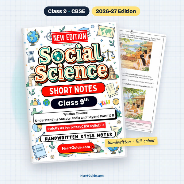
From the Class 9 Social Science Short Notes, made as per the new NCERT book Understanding Society: India and Beyond · Pages 6–11 of the book.
Key points
- A landform is a natural feature of the Earth's crust — like mountains, valleys, plateaus and plains.
- The Earth has four layers: crust, mantle, outer core (liquid) and inner core (solid, densest).
- Lithosphere = crust + upper mantle; it is broken into tectonic plates that move on the semi-molten asthenosphere.
- Plates move slowly because of convection currents in the mantle.
- Convergent boundaries form fold mountains (the Himalaya); divergent boundaries form mid-ocean ridges; transform boundaries cause earthquakes (San Andreas Fault).
- Most earthquakes and volcanoes occur along plate boundaries, especially around the Pacific — the Ring of Fire.
- Weathering breaks rocks in place; erosion breaks and carries soil and rock away.
- Agents of gradation — running water, glaciers, wind, waves and groundwater — wear down, transport and deposit material.
- A river makes a V-valley and waterfalls in its upper course, meanders and oxbow lakes in its middle course, and a delta in its lower course.
- Landslides, avalanches, GLOFs and dust storms have both natural and human causes.
- Internal (endogenic) forces build mountains; external (exogenic) forces slowly wear down and reshape the land.
Key terms
- Landform: A natural feature of the Earth's surface formed by weathering, erosion, deposition and movement of the crust.
- Lithosphere: The crust plus the upper mantle; it is rigid and broken into tectonic plates.
- Asthenosphere: The hot, semi-molten layer below the lithosphere on which plates move.
- Tectonic plates: Large and small pieces of the Earth's outer layer that move slowly over the layer beneath.
- Weathering: Breaking down of rocks in place, with no movement.
- Erosion: Wearing away and carrying soil and rock to another place by water, wind, ice or waves.
- Oxbow lake: A cut-off loop of a meandering river.
- GLOF: Glacial Lake Outburst Flood — when a glacial lake's ice or moraine dam collapses.
Diagrams to learn
- Labelled diagram of the Earth's interior
- Plate boundaries: convergent, divergent, transform
- A river's journey: upper, middle and lower course
- Table: landforms of waves, glaciers, wind and groundwater
- Table: landforms and disasters
- Memory trick: stalactites hold tight to the ceiling; stalagmites rise from the ground.
- Weathering = breaking; erosion = breaking + carrying.
- Plate tectonics helps identify earthquake- and volcano-prone regions and manage disasters.
A real page from the book

Get the full chapter in the book
This page is a summary. The Class 9 Social Science Short Notes has the complete chapter in colour, with every diagram and worked example.
Frequently asked questions
What are the layers of the Earth?
The Earth has a crust, mantle, outer core and inner core. The outer core is fluid (iron and nickel) and the inner core is solid and the densest part.
What are the three types of plate boundaries?
Convergent (plates move towards each other, forming fold mountains), divergent (plates move apart, forming mid-ocean ridges) and transform (plates slide past, causing earthquakes).
What is the difference between weathering and erosion?
Weathering is the breaking down of rocks in place, with no movement. Erosion breaks rocks and also carries the soil and rock to another place by water, wind, ice or waves.
← Part 1 · Chapter 1: Understanding Social SciencePart 1 · Chapter 3: Atmosphere and Climate →